Post by Stretch on Nov 7, 2009 22:50:15 GMT -5
Since I was heading up to Quantico anyway, why not take a few extra days and make it an enjoyable bike trip?
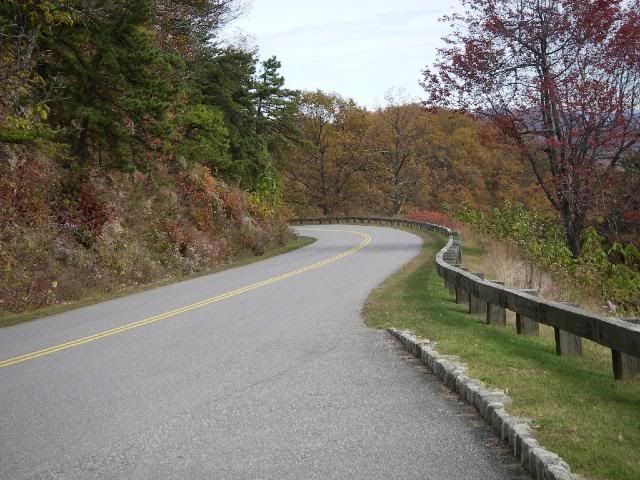
I had always wanted to travel the full length of the Blue Ridge Parkway, one of America's most scenic roads. I had done bits and pieces of it over the years, but never the entire length.
I sent off for a Blue Ridge Parkway directory and studied over it for a few weeks prior to the trip, wanting to see the sights and "smell the roses" along the way....
www.blueridgeparkway.org/directory.htm
The BRP begins just outside of Waynesboro, Virginia, and traverses the Blue Ridge mountains for 469 miles, ending just a couple miles north of Cherokee, North Carolina.
Skyline Drive is essentially a continuation of the Blue Ridge Parkway, starting in Front Royal, Virginia and heading 105 miles south through Shenandoah National Park to Rockfish Gap, where the road turns into the Blue Ridge Parkway.
So if you wish to travel the full length of both these scenic byways, you have 574 miles of mountain twisties in front of you. Since I live in Georgia, to the south of the southern end of the BRP, my plans were to ride up to Cherokee, get on the southern terminus of the Blue Ridge Parkway, and ride its full length north to Shenandoah National Park, Virginia, and then the full length of Skyline Drive.
A history of the BRP... www.virtualblueridge.com/parkway/general/parkway.asp
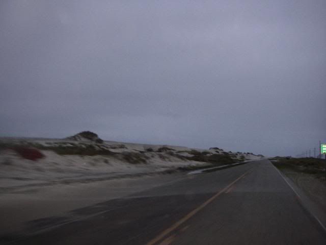
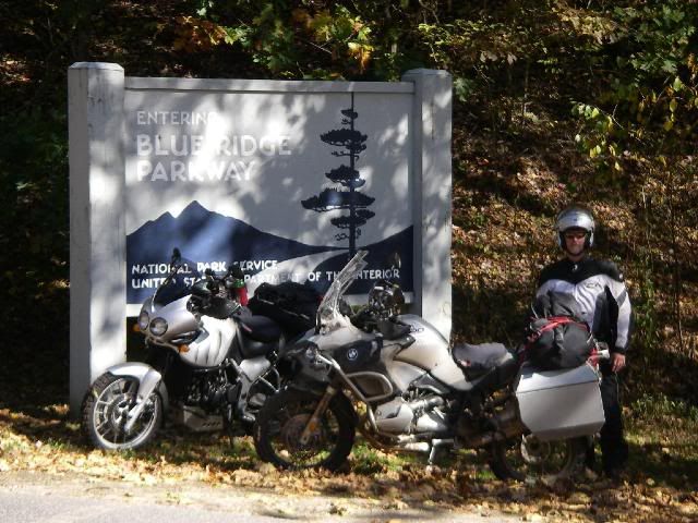
My trusty wingman, as usual, is my brother-in-law and best friend, RocDoc, on his '07 BMW R1200GS Adventure. I'm on my '05 Triumph Tiger.
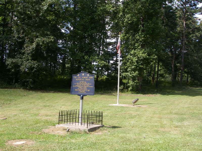
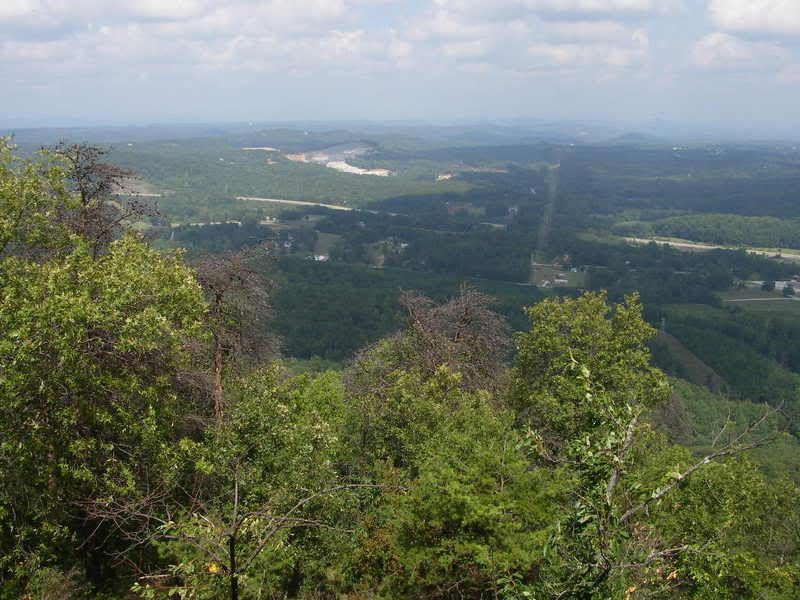
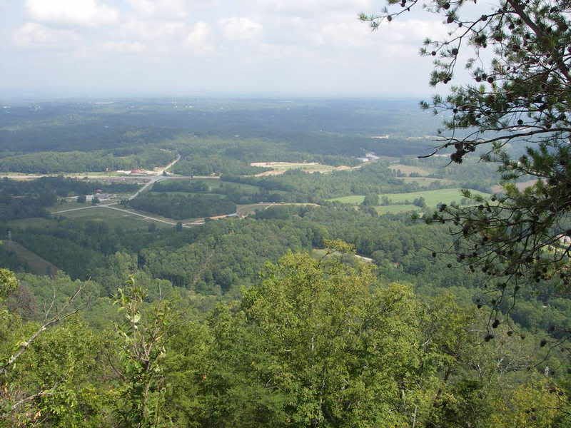
About an hour north of home, we agreed to ride up Currahee mountain near Toccoa, Georgia, made famous in the HBO miniseries "Band Of Brothers". The soldiers of the 506th Parachute Infantry Regiment trained here for the combat parachute jumps into occupied France on the first day of Operation Overlord (D-Day).
www.ww2-airborne.us/units/506/506.html

Currahee... Cherokee for "Stands Alone". The mountain stands about 800 feet (240 m) above the surrounding landscape, with an elevation of 1,735 feet (529 m).


Three miles up... three miles down. Those young men frequently ran up and down this mountain during their training. This photo doesn't really show how steep the road is. 506th PIR = absolute bad-asses.
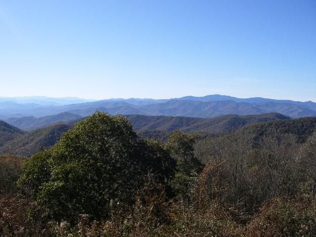
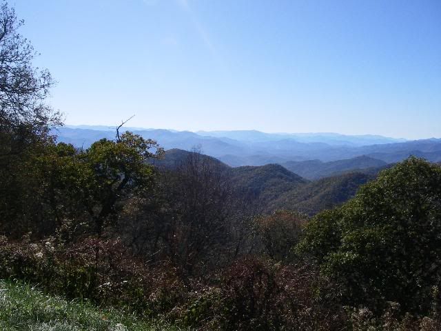
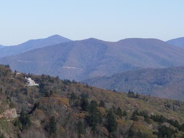
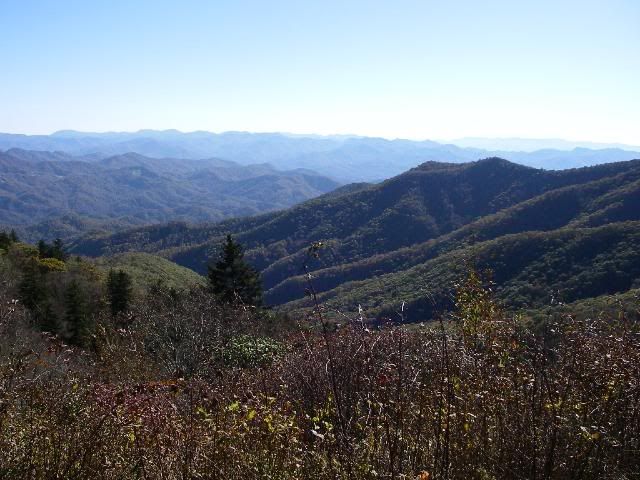
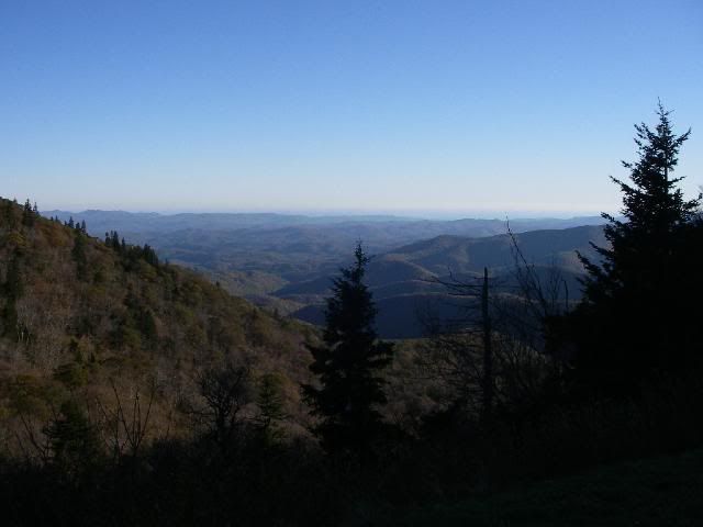
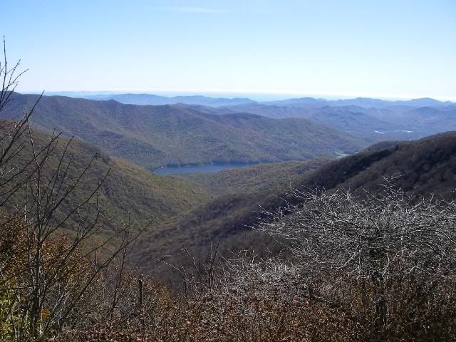
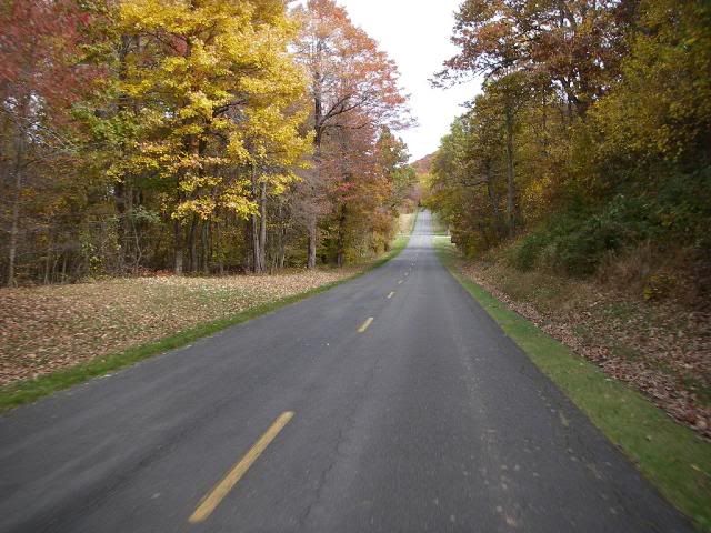
A couple hours later, we rolled into Cherokee, NC and gassed up. From previous experience, I knew that the southernmost sections of the BRP were the most twisty, as those parts are the most mountainous, and also at the highest elevation, nearly 6200 feet at its highest point.
BRP Mile 469, the southernmost end, just above Cherokee, NC on U.S. 441.
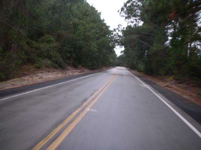
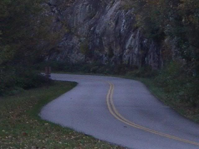
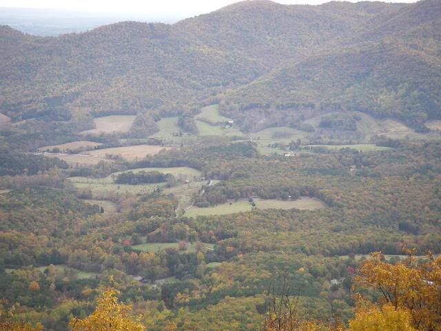
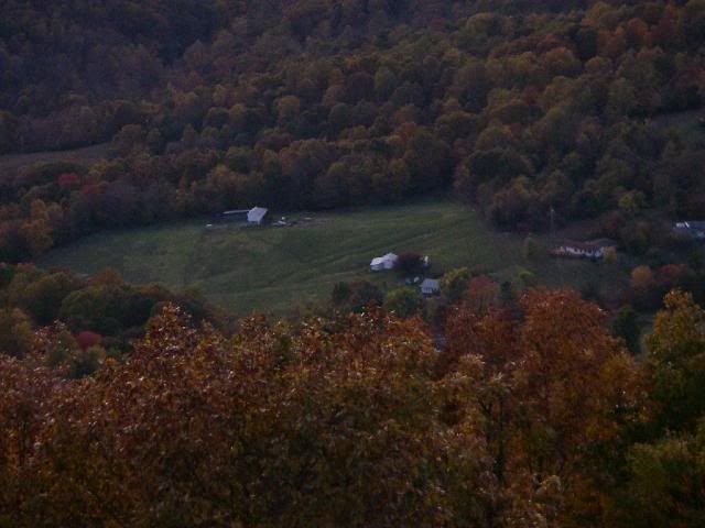
The Parkway and its right-of-ways are maintained by the National Park Service, with no tractor-trailers and other commercial traffic allowed. The BRP and Skyline Drive are essentially National Parks, built and maintained to provide a pleasant drive with beautiful scenery.
There are no gas stations, restaurants, or motels on the Parkway itself. To access these services, you have to exit the Parkway at a crossroad. This is where the BRP Directory comes in handy, using it as a quick reference as to where one can stop for gas, motels, etc.
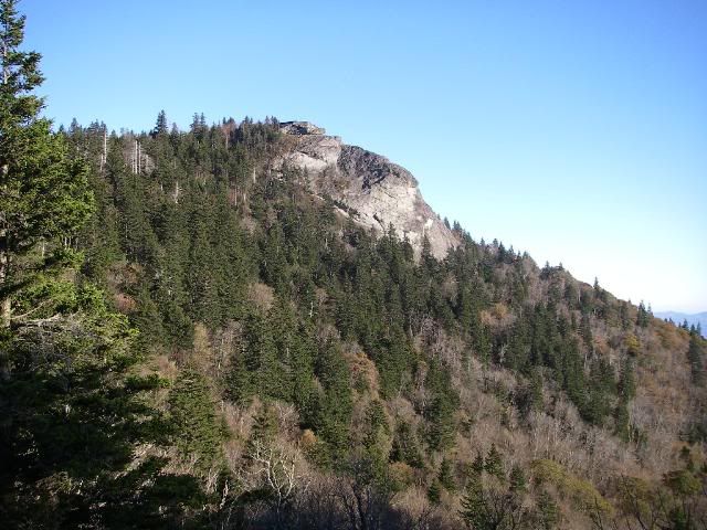
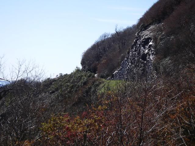
The Devil's Courthouse

Looking Glass Rock, so named because of the monolith's high reflectivity when covered with ice and sleet.
An early winter storm had rolled through the area just two days before, and the section of the BRP's highest elevation was closed due to ice and snow on the roadway. This was our first of three mandatory detours.
We were able to get back on the BRP above Waynesville, NC and rode until nearly dark, where we exited again to find a motel in Asheville.
Picking up the next day, heading north from Asheville...
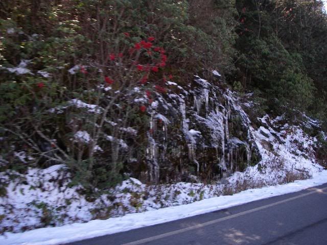
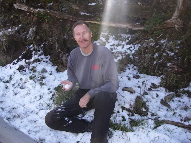
Sheets of icicles on the road up to Mount Mitchell.
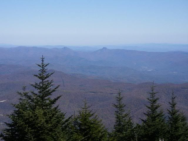
Near the summit of Mount Mitchell, the highest point east of the Mississippi River, 6,684 feet (2,037 m). No yellow... tasty!
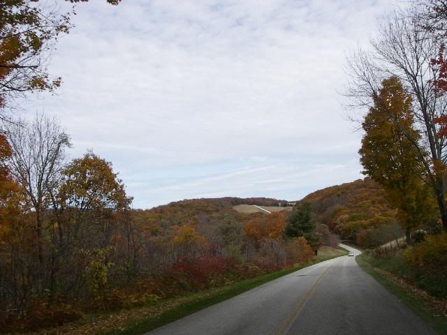
Continuing on...
We encountered another detour near Blowing Rock, NC. This one was due to road repairs, and was listed on the BRP website, along with directions.
The third detour we encountered was also in NC, due to the authorities closing the road to investigate a crime scene. We never heard any details, and the road was re-opened shortly thereafter.

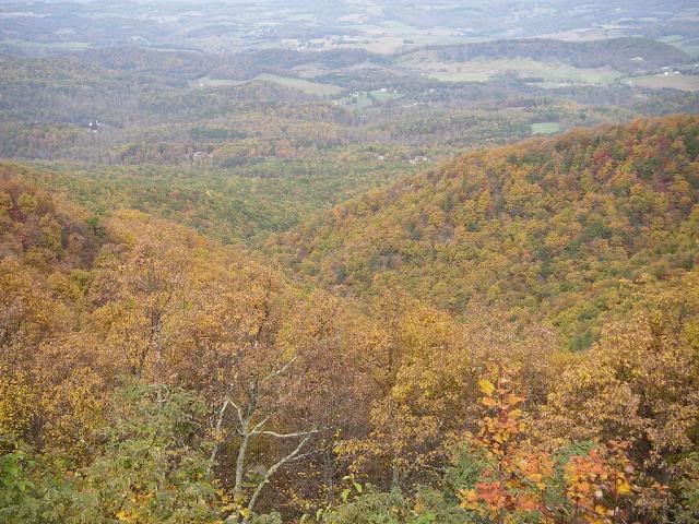
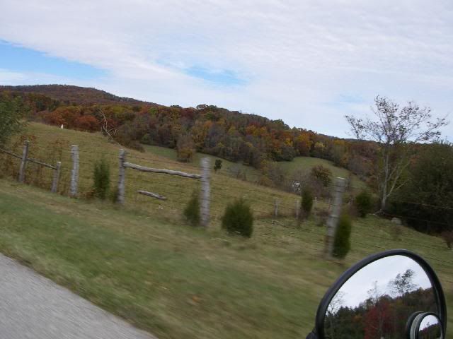
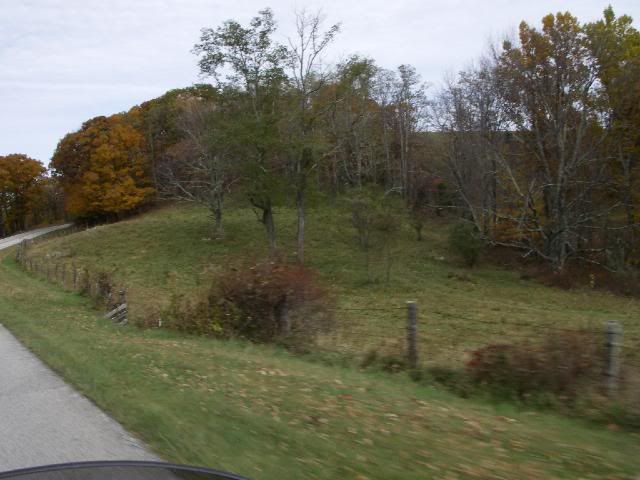
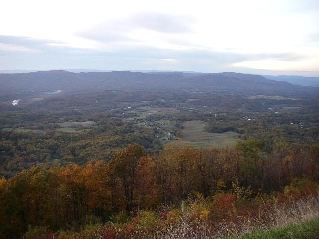
Note how the leaves are more red and gold as we head north. South of us, the nights hadn't been quite as cold, and the foliage was still green. As we headed further north, up into northern Virginia, the foliage had just about played out. Most of the leaves there were brown or had already fallen.
We found a nice mom-and-pop motel in Meadows Of Dan, Virginia.
Still heading north...


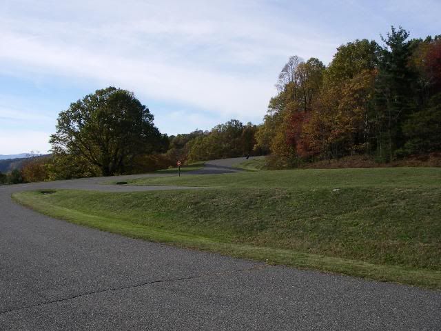
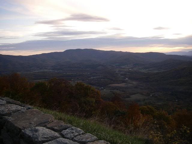
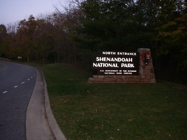
Rockfish Gap, near Waynesboro, Virginia. Mile 0 of the Blue Ridge Parkway, and Mile 105 of Skyline Drive. Just to the left is the southern entrance of Shenandoah National Park. The entry fee for motorcycles is $10.00, with a strictly enforced speed limit of 35 MPH.
The northern entrance of Skyline Drive, after having ridden well more than the usual 574 miles of it and the BRP, due to the detours.
I would highly recommend this ride, especially during October, when the fall foliage is in full color.
From here in Front Royal, we rode an hour east (in the dark) to Dumfries. This would be home base for the next couple days. I went to my reunion, and RocDoc went into Washington DC to see the sights.
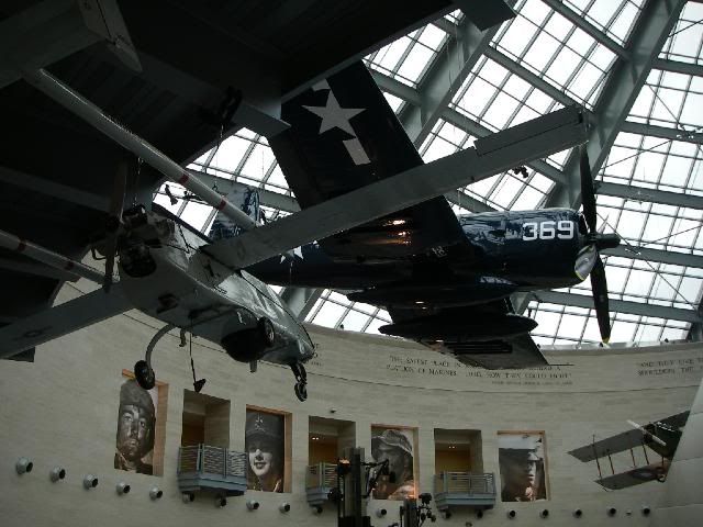
Quantico... October 23. The National Museum of the Marine Corps, just across the road from MCB Quantico, near the front gate.
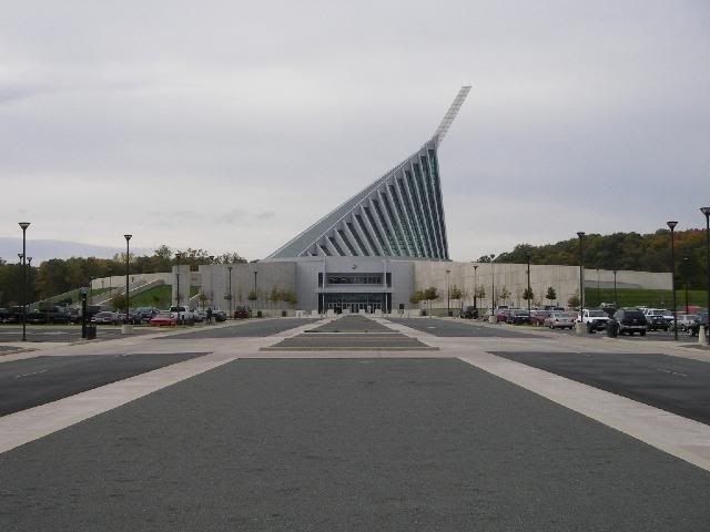
The roofline represents the Marine War Memorial in Arlington
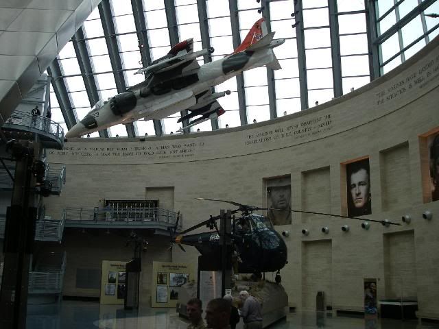
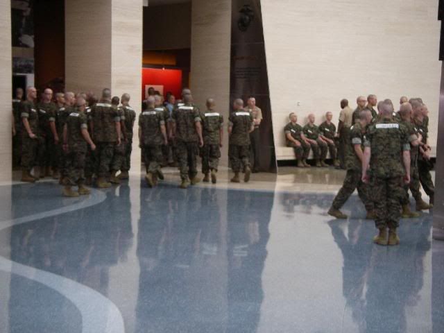
A class of new OCS candidates were in the museum getting a dose of motivation
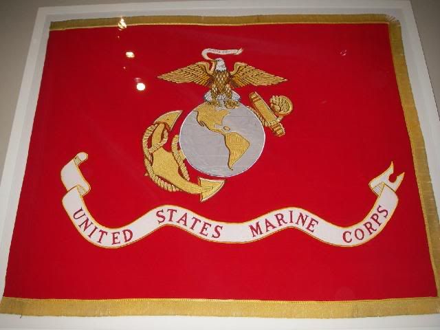
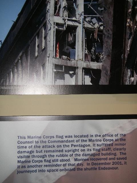
This Marine Corps flag was in an office in the Pentagon on 11 September, 2001....
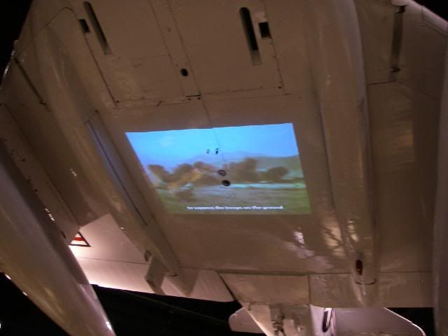
A video about the air war in Vietnam, using the belly of an A4 as the movie screen.
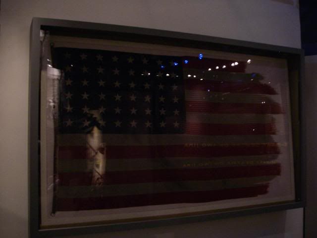
The second Mt. Suribachi flag, made famous in the photo by Joe Rosenthal.
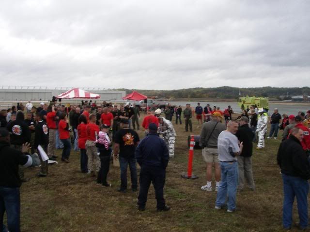
2009 East Coast Crash Crew Rodeo. On occasion, teams representing each of the Marine Crash Crews on the east coast get together to compete in a rodeo. Quantico won the last one, so they were automatically the host of this year's.
Attending were teams from Beaufort, New River, Cherry Point, and Quantico
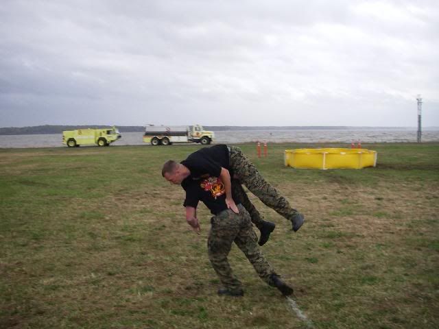
Events included Fireman's Carry...
Rapid Dress...
Cutting an oil drum in half for time...
The winning time was 14 seconds.
Bucket Brigade...
Time stops when the barrel is full.
Other events included connecting, extending, and charging 200 feet of hose and knocking over a 5-gallon bucket, for time. No pics, sorry.
Also, the extinguishers, hose rolls, and tool roll were removed from a crash truck and laid on the ground, with all the tools in a bucket. Each team was timed for how fast they could get all the tools back in the tool roll in their proper place with all snaps snapped, and everything back on the truck. No photos.
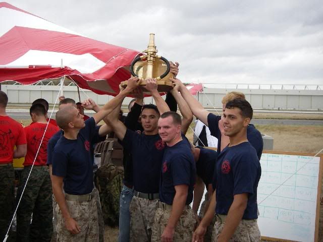
The winners... my homies from New River.
The afternoon ended with a cookout featuring classic American cuisine (burgers and dogs) at the Crash Crew, provided with appreciation by us old has-beens of the AFFR Association. ;D
At the banquet that night...
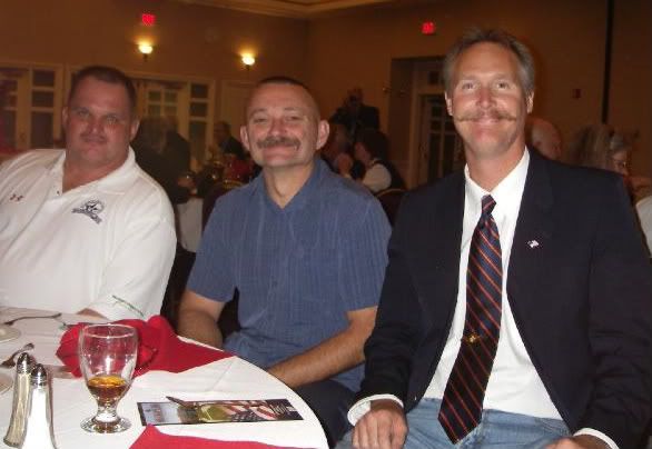
Willy, J.R., and me. I hadn't seen these cats in 20 years. There's nothing like visiting with old friends.
Sunday, October 25. With my reunion over and RocDoc's Washington DC meanderings done, we hit the road, taking the long way home (cue the old Supertramp song...)
We rode north on I-95 past Washington, taking U.S. 50 toward Annapolis, MD. We crossed the bridge over Chesapeake Bay, and rode east through the remainder of Maryland, into Delaware.
At Georgetown, we turned south into Maryland again, and then down the Virginia peninsula heading toward Norfolk.
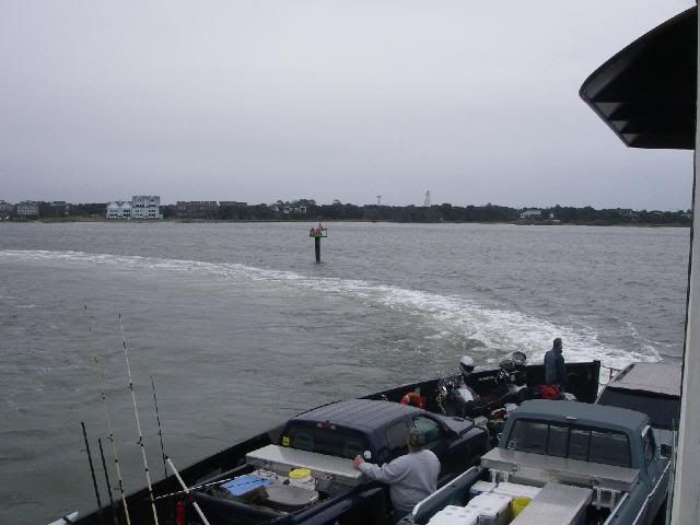
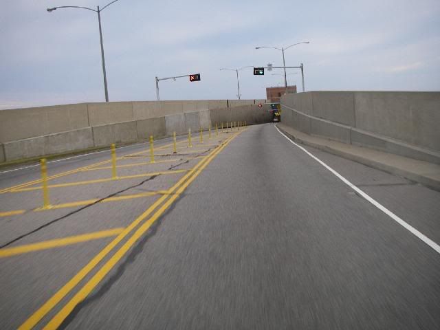
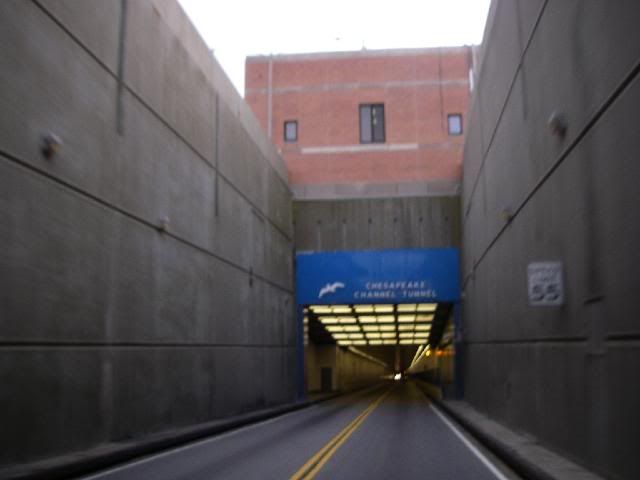
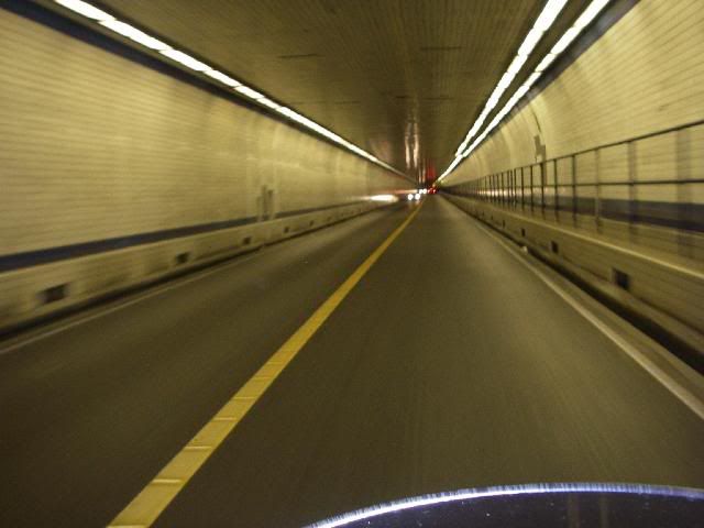
But to get to Norfolk, we had to cross the Chesapeake Bay Bridge and Tunnel, which covers a distance of 21 miles across the mouth of Chesapeake Bay. There are three sections of bridge, separated by two sections of tunnel where the water is deepest. The shipping channels pass above the submerged tunnels...

Obviously not my photo
From the Bay Bridge / Tunnel website:
www.cbbt.com/
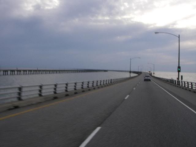
On the bridge, approaching a tunnel
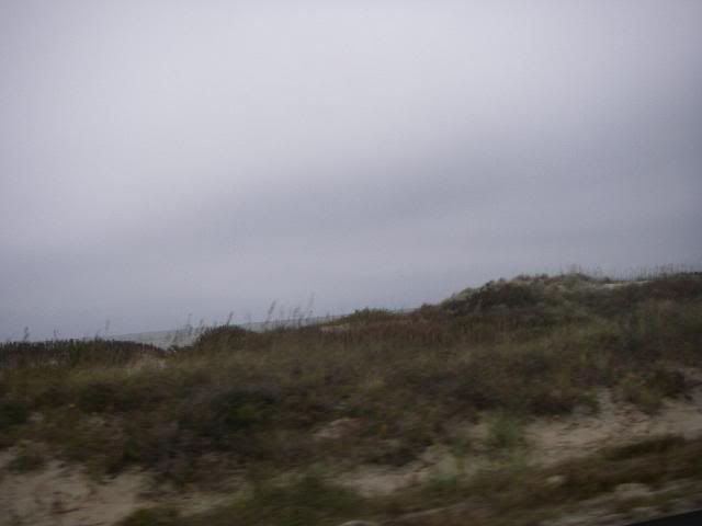
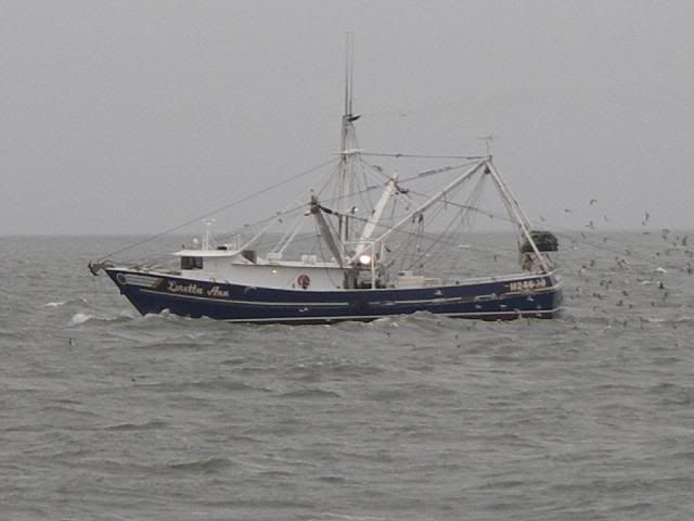
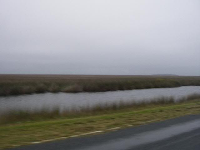
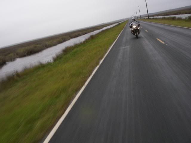
We continued south through Norfolk and Virginia Beach into North Carolina, then east to the Outer Banks. We arrived in Kitty Hawk after dark, and rode to Nag's Head before we found a motel.
I had always wanted to travel the full length of the Blue Ridge Parkway, one of America's most scenic roads. I had done bits and pieces of it over the years, but never the entire length.
I sent off for a Blue Ridge Parkway directory and studied over it for a few weeks prior to the trip, wanting to see the sights and "smell the roses" along the way....
www.blueridgeparkway.org/directory.htm
The BRP begins just outside of Waynesboro, Virginia, and traverses the Blue Ridge mountains for 469 miles, ending just a couple miles north of Cherokee, North Carolina.
Skyline Drive is essentially a continuation of the Blue Ridge Parkway, starting in Front Royal, Virginia and heading 105 miles south through Shenandoah National Park to Rockfish Gap, where the road turns into the Blue Ridge Parkway.
So if you wish to travel the full length of both these scenic byways, you have 574 miles of mountain twisties in front of you. Since I live in Georgia, to the south of the southern end of the BRP, my plans were to ride up to Cherokee, get on the southern terminus of the Blue Ridge Parkway, and ride its full length north to Shenandoah National Park, Virginia, and then the full length of Skyline Drive.
A history of the BRP... www.virtualblueridge.com/parkway/general/parkway.asp
My trusty wingman, as usual, is my brother-in-law and best friend, RocDoc, on his '07 BMW R1200GS Adventure. I'm on my '05 Triumph Tiger.
About an hour north of home, we agreed to ride up Currahee mountain near Toccoa, Georgia, made famous in the HBO miniseries "Band Of Brothers". The soldiers of the 506th Parachute Infantry Regiment trained here for the combat parachute jumps into occupied France on the first day of Operation Overlord (D-Day).
www.ww2-airborne.us/units/506/506.html
Currahee... Cherokee for "Stands Alone". The mountain stands about 800 feet (240 m) above the surrounding landscape, with an elevation of 1,735 feet (529 m).
Three miles up... three miles down. Those young men frequently ran up and down this mountain during their training. This photo doesn't really show how steep the road is. 506th PIR = absolute bad-asses.
A couple hours later, we rolled into Cherokee, NC and gassed up. From previous experience, I knew that the southernmost sections of the BRP were the most twisty, as those parts are the most mountainous, and also at the highest elevation, nearly 6200 feet at its highest point.
BRP Mile 469, the southernmost end, just above Cherokee, NC on U.S. 441.
The Parkway and its right-of-ways are maintained by the National Park Service, with no tractor-trailers and other commercial traffic allowed. The BRP and Skyline Drive are essentially National Parks, built and maintained to provide a pleasant drive with beautiful scenery.
There are no gas stations, restaurants, or motels on the Parkway itself. To access these services, you have to exit the Parkway at a crossroad. This is where the BRP Directory comes in handy, using it as a quick reference as to where one can stop for gas, motels, etc.
The Devil's Courthouse
Looking Glass Rock, so named because of the monolith's high reflectivity when covered with ice and sleet.
An early winter storm had rolled through the area just two days before, and the section of the BRP's highest elevation was closed due to ice and snow on the roadway. This was our first of three mandatory detours.
We were able to get back on the BRP above Waynesville, NC and rode until nearly dark, where we exited again to find a motel in Asheville.
Picking up the next day, heading north from Asheville...
Sheets of icicles on the road up to Mount Mitchell.
Near the summit of Mount Mitchell, the highest point east of the Mississippi River, 6,684 feet (2,037 m). No yellow... tasty!
Continuing on...
We encountered another detour near Blowing Rock, NC. This one was due to road repairs, and was listed on the BRP website, along with directions.
The third detour we encountered was also in NC, due to the authorities closing the road to investigate a crime scene. We never heard any details, and the road was re-opened shortly thereafter.
Note how the leaves are more red and gold as we head north. South of us, the nights hadn't been quite as cold, and the foliage was still green. As we headed further north, up into northern Virginia, the foliage had just about played out. Most of the leaves there were brown or had already fallen.
We found a nice mom-and-pop motel in Meadows Of Dan, Virginia.
Still heading north...
Rockfish Gap, near Waynesboro, Virginia. Mile 0 of the Blue Ridge Parkway, and Mile 105 of Skyline Drive. Just to the left is the southern entrance of Shenandoah National Park. The entry fee for motorcycles is $10.00, with a strictly enforced speed limit of 35 MPH.
The northern entrance of Skyline Drive, after having ridden well more than the usual 574 miles of it and the BRP, due to the detours.
I would highly recommend this ride, especially during October, when the fall foliage is in full color.
From here in Front Royal, we rode an hour east (in the dark) to Dumfries. This would be home base for the next couple days. I went to my reunion, and RocDoc went into Washington DC to see the sights.
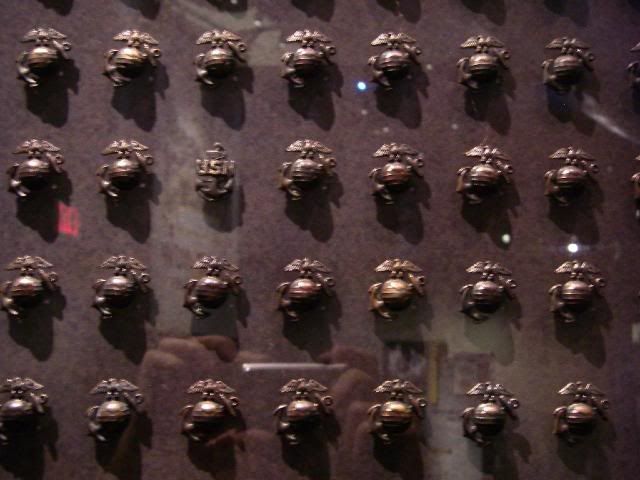
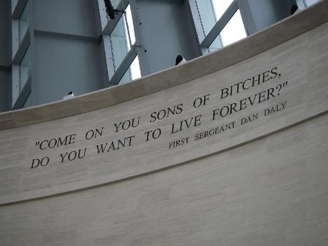
Quantico... October 23. The National Museum of the Marine Corps, just across the road from MCB Quantico, near the front gate.
The roofline represents the Marine War Memorial in Arlington
A class of new OCS candidates were in the museum getting a dose of motivation
This Marine Corps flag was in an office in the Pentagon on 11 September, 2001....
A video about the air war in Vietnam, using the belly of an A4 as the movie screen.
The second Mt. Suribachi flag, made famous in the photo by Joe Rosenthal.
2009 East Coast Crash Crew Rodeo. On occasion, teams representing each of the Marine Crash Crews on the east coast get together to compete in a rodeo. Quantico won the last one, so they were automatically the host of this year's.
Attending were teams from Beaufort, New River, Cherry Point, and Quantico
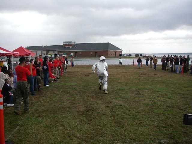
Events included Fireman's Carry...
Rapid Dress...
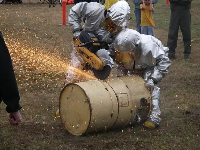
Cutting an oil drum in half for time...
The winning time was 14 seconds.
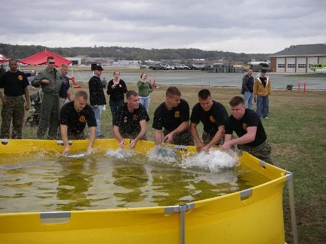
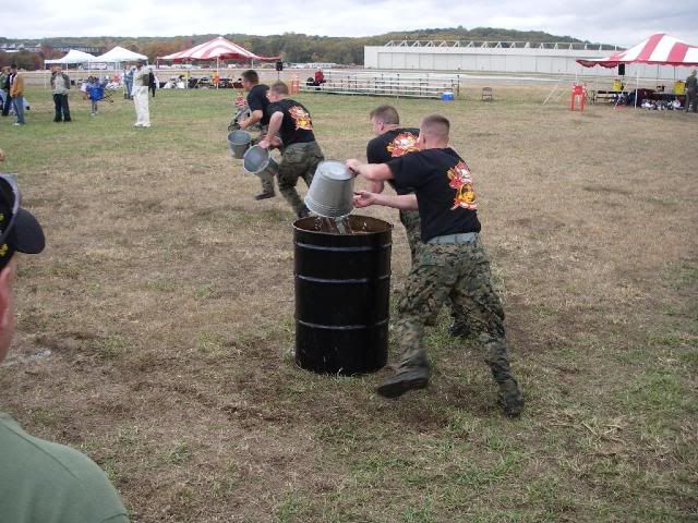
Bucket Brigade...
Time stops when the barrel is full.
Other events included connecting, extending, and charging 200 feet of hose and knocking over a 5-gallon bucket, for time. No pics, sorry.
Also, the extinguishers, hose rolls, and tool roll were removed from a crash truck and laid on the ground, with all the tools in a bucket. Each team was timed for how fast they could get all the tools back in the tool roll in their proper place with all snaps snapped, and everything back on the truck. No photos.
The winners... my homies from New River.
The afternoon ended with a cookout featuring classic American cuisine (burgers and dogs) at the Crash Crew, provided with appreciation by us old has-beens of the AFFR Association. ;D
At the banquet that night...
Willy, J.R., and me. I hadn't seen these cats in 20 years. There's nothing like visiting with old friends.
Sunday, October 25. With my reunion over and RocDoc's Washington DC meanderings done, we hit the road, taking the long way home (cue the old Supertramp song...)
We rode north on I-95 past Washington, taking U.S. 50 toward Annapolis, MD. We crossed the bridge over Chesapeake Bay, and rode east through the remainder of Maryland, into Delaware.
At Georgetown, we turned south into Maryland again, and then down the Virginia peninsula heading toward Norfolk.
But to get to Norfolk, we had to cross the Chesapeake Bay Bridge and Tunnel, which covers a distance of 21 miles across the mouth of Chesapeake Bay. There are three sections of bridge, separated by two sections of tunnel where the water is deepest. The shipping channels pass above the submerged tunnels...
Obviously not my photo
From the Bay Bridge / Tunnel website:
From shore to shore, the Bridge-Tunnel measures 17.6 miles (28.4 km) and is considered the world's largest bridge-tunnel complex. Construction of the span required undertaking a project of more than 12 miles of low-level trestle, two 1-mile tunnels, two bridges, almost 2 miles of causeway, four manmade islands and 5-1/2 miles of approach roads, totaling 23 miles.
www.cbbt.com/
On the bridge, approaching a tunnel
We continued south through Norfolk and Virginia Beach into North Carolina, then east to the Outer Banks. We arrived in Kitty Hawk after dark, and rode to Nag's Head before we found a motel.